Professional Drone Photography & Videography Services Across Hunter Valley Region
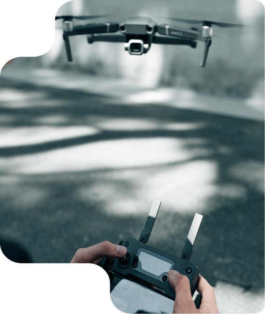
Our services include aerial photography and videography for construction projects, real estate tours, events, and more. We also offer upcoming services in drone-based surveying and inspections.
High-resolution drone imagery and cinematic video for:
Perfect for making your property or project stand out with a stunning bird’s-eye view.
Fast, detailed aerial inspections for insurance documentation:
Safe, efficient, and cost-effective – no need for ladders or scaffolding.
Magpie View delivers high-quality aerial photos and 4K videos to visually track your construction progress. Our drone service provides scheduled captures from multiple angles—overhead and oblique—giving you clear, consistent updates without disrupting the site. Perfect for client reporting, team updates, and marketing, with easy online access to your visuals.
From creating detailed topographic maps to conducting comprehensive asset inspections, we help you save time, reduce costs, and enhance the quality of your projects.
COMING SOON
Precise aerial data collection using drone-based photogrammetry:
Ideal for developers, engineers, and site managers who need accurate visual data.
COMING SOON
Explore our portfolio to see how we’ve helped clients elevate their projects with stunning aerial imagery and videography.
Hear from those who’ve experienced the magic of our aerial photography and videography services. Their words speak volumes about the quality and impact of our work.

Construction Project Manager

CEO

Real Estate Agent

Marketing Director
We guide you through every step — from initial consultation to final delivery — ensuring a smooth experience and outstanding results.
We begin with a consultation to understand your needs and define the goals of the project.
We carefully plan the flight paths and shooting schedule to capture the best angles.
Our expert team edits the footage to highlight key features, ensuring high-quality visuals.
Expertise, cutting-edge technology, and personalized service combine to deliver stunning visuals and unmatched results every time.
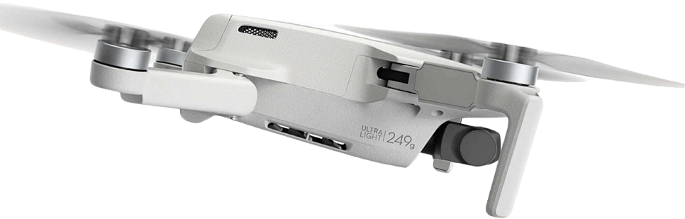
Our certified pilots use advanced drone technology to capture highly precise and accurate aerial imagery, ensuring every detail of your project is perfectly documented.
We utilize the latest drones and imaging tools to deliver high-resolution photos and cinematic videos that exceed industry standards.
From consultation to delivery, we tailor our services to meet your unique needs, providing attentive support and clear communication throughout the process.
We understand the importance of deadlines and guarantee timely delivery of your aerial imagery without compromising quality.
Find answers to common questions about our aerial photography and videography services.
We photograph residential, commercial, industrial properties, farms, vineyards, and any outdoor areas that benefit from aerial views.
Most sessions last between 30 minutes to 2 hours, depending on the size and complexity of the property.
Yes, we always obtain necessary permissions and follow local regulations to ensure safe and legal flights.
We provide professionally edited images optimized for color, lighting, and clarity to showcase your property at its best.
We offer Full HD (1080p), 4K, and custom resolutions depending on your project needs.
Our drones have advanced gimbal stabilization systems, and our pilots are trained for smooth, cinematic flying techniques.
Absolutely! We work closely with you during planning to capture the angles and views that highlight your project perfectly.
Typically, editing and delivery take between 3 to 7 business days after the shoot, depending on project complexity.
Drone tours provide dynamic, engaging views of the property and surroundings, attracting more buyers and increasing interest.
Yes, we can combine drone aerial footage with ground-level interior shots for a comprehensive property tour.
Yes, we tailor each video tour to fit the style and features of residential, commercial, or rural properties.
Most tours range from 1 to 3 minutes, focusing on key features and the overall layout.
We can schedule regular inspections weekly, biweekly, or monthly depending on your project needs.
We cover residential, commercial, infrastructure, and industrial construction sites of all sizes.
Yes, aerial photos provide detailed views that can reveal hazards, progress bottlenecks, and compliance issues.
Absolutely, we coordinate with site managers to ensure safe flight times and compliance with all safety rules.
Ready to elevate your project with stunning aerial imagery? Reach out today and let’s make it happen.
contact@magpieview.com.au
0481 275 740